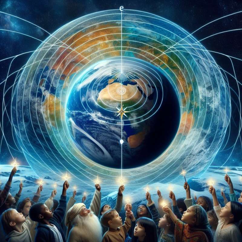
Defining Latitude and Longitude
Latitude and longitude form the Earth's geographic coordinate system. They are angular measurements that give a location's position relative to the Equator and Prime Meridian, respectively, allowing precise navigation and mapping.
Latitude: Earth's Horizontal Lines
Latitudes, or parallels, run horizontally from 0° at the Equator to 90° at the poles. Each degree is about 69 miles apart, influencing climate zones by their solar exposure, which decreases poleward.
Longitude: Vertical Positioning
Longitudes, or meridians, are the Earth's vertical lines, converging at poles. The Prime Meridian, at 0°, passes through Greenwich, UK. Distances between longitudes vary and help determine local time zones.
Grid System Navigation
Together, latitudes and longitudes create a grid, allowing for pinpointing precise locations. This system revolutionized navigation, replacing landmarks and dead reckoning with accurate maps.
GPS and Modern Navigation
Global Positioning System (GPS) technology relies on satellites using latitude and longitude to provide real-time location data. This advancement has made navigation accessible to anyone with a GPS-enabled device.
Impact on Human History
Latitude and longitude have shaped exploration, trade, and warfare. They enabled transoceanic voyages, the discovery of new lands, and have been fundamental in geopolitical boundaries and international agreements.
Non-Earth Applications
The concept of latitude and longitude extends beyond Earth. Other celestial bodies, like Mars, have their own coordinate systems for navigation, vital for missions like the Mars Rovers' exploration.Accidental Discoveries
GPS was originally intended for military use but became a global public utility, transforming everyday navigation and numerous industries.
What defines Earth's coordinate system?
Magnetic fields
Latitude and longitude
Continental outlines
Company